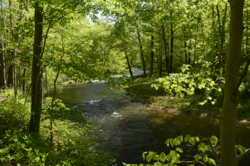
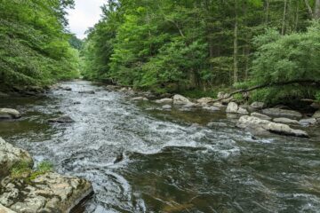
Site Description

Site ID: NR03
Raritan Township, Hunterdon County
Stream Category: FW2-NT (Category 2, Non-trout waters)
Site monitors Third Neshanic River subwatershed (HUC: 02030105030040)
The site is located off of the Heron Glen Gold Course Access Road; this road is not marked with a street sign or labeled on Google Maps. To access this site, you must request permission from the golf course superintendent.

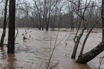
What is being monitored at this site?
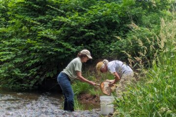
Water Quality Data

Each June, Raritan Headwaters scientists and volunteers visit 72 stream sites in the North and South Branch Raritan Watershed Region (WMA8) of New Jersey to collect data on the health of our streams.  Data collected includes a sample of benthic macroinvertebrates (used to calculate the High Gradient Macroinvertebrate Index;HGMI score), an assessment of the habitat in and around the stream, and chemical conditions in the water.  Chemical parameters include dissolved oxygen, phosphate, chloride, specific conductance, nitrate, turbidity, pH, and temperature. The HGMI is used by the NJ Department of Environmental Protection (NJDEP) and the US Environmental Protection Agency (USEPA) to determine if the site is meeting state and national water quality standards under the Clean Water Act. Click here to learn more about our stream monitoring program and water quality reports.


Site Data for NR03

Select a parameter below to view annual data. Hover over the chart to get more information.

Threats and Recommendations

The HGMI at NR03 was found to be fair in 2019, which means it was biologically impaired. Because NR03 has been consistently impaired based on the HGMI, even if not for the past two years, it is part of our quarterly chemical monitoring program so that we can begin to identify and address the causes of impairment. This site is located within an agriculturally rich section of our watershed, which means that run off from farm fields as well as lack of riparian buffers are likely negatively impacting the water quality of this stream. Similar to the HGMI, the habitat scored sub-optimal. This site suffers from heavy bank erosion, lack of bank vegetative protection, and insufficient riparian zone width.  Increasing the bank vegetative cover and widening the riparian zone will help to decrease the bank erosion  and increase bank stability at this site.

NR03

NR03

Google Map View

Latest News About Water Quality