Curious about the health of streams near your home?
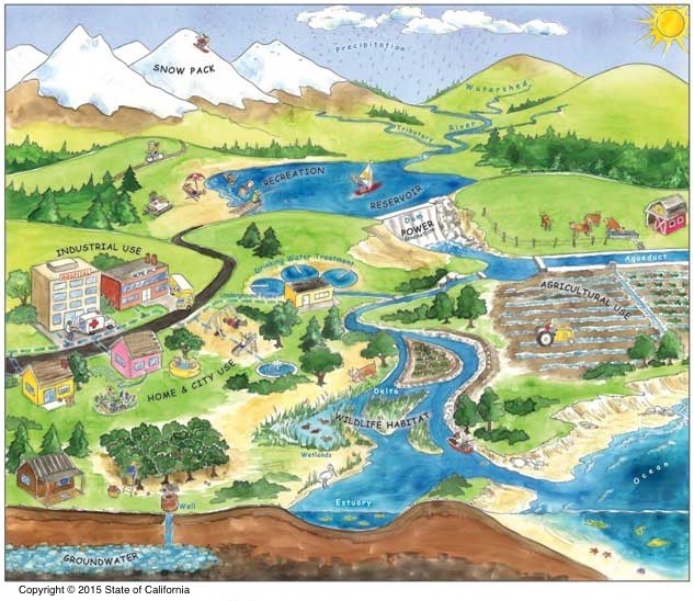
We all live in a watershed, which is broadly defined as the land that drains into a common body of water such as a stream, river, lake or bay. Most precipitation either runs off the land and eventually enters streams or infiltrates into underground aquifers; it eventually comes out of our tap.
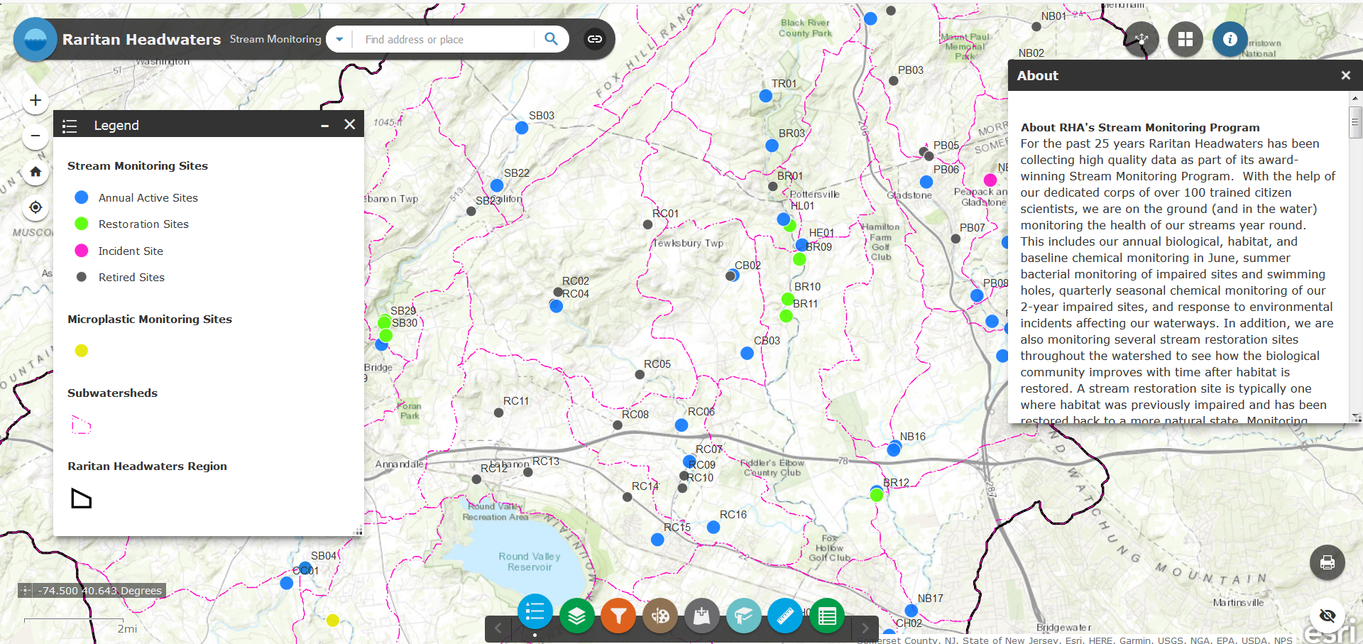
Raritan Headwaters’ Interactive Stream Monitoring Map
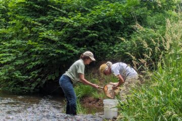
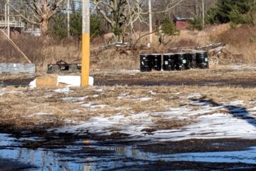
It is important that we ensure that water stays clean. Raritan Headwaters monitors stream sites throughout the Upper Raritan Watershed Region, which includes 38 municipalities in Somerset, Hunterdon and Morris Counties.
What’s your watershed address? You can check on the biological and chemical health of streams near your home through our interactive map here. The dots on the map are stream monitoring sites and there is a place to search for your address in the upper left hand corner.
Click here for a tutorial showing how to use RHA’s interactive watershed map!
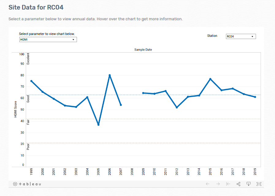
A graph showing stream health over time.
To learn how you can help Raritan Headwaters monitor and protect water quality in your streams, click here.
Please share any questions, comments, or photos that you and your child have on the Raritan Headwaters Learning Community Facebook Page!
More Raritan Headwaters Learning Resources